Dehradun to Chopta Cab & Taxi Service
Book a private Dehradun to Chopta cab for a comfortable, door-to-door hill journey to one of Uttarakhand's most scenic meadows — often called the "Mini Switzerland" of India, and the base for the Tungnath and Chandrashila treks. The Dehradun to Chopta distance is covered on a well-marked hill route via Rishikesh and Rudraprayag, and a dedicated taxi is the easiest way to manage the winding roads with your own schedule.
Dehradun to Chopta: A Quick Introduction
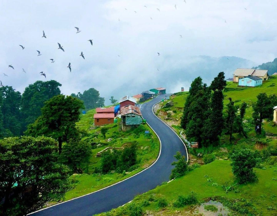
Dehradun to Chopta is one of the most rewarding hill drives in Uttarakhand, connecting the state capital to a high-altitude meadow that's earned the nickname "Mini Switzerland of India" for its rolling green pastures, rhododendron forests, and open Himalayan views. The Dehradun to Chopta distance covers roughly 180–200 km, and while it can technically be driven in a single long day, most travellers prefer to break the journey or start very early given the winding hill roads in the second half.
Chopta itself sits at an elevation of roughly 2,680–3,000 metres in Rudraprayag district, and functions as the base for two of the region's best-loved treks: the Tungnath temple, believed to be the highest Shiva temple in the world, and Chandrashila peak just beyond it, known for its 360-degree Himalayan panorama. Because there's no direct train or reliable public transport network deep into the meadow, a private Dehradun to Chopta cab or Dehradun to Chopta taxi remains the most practical way to get there, especially for families, trekking groups, and anyone travelling with gear.
The Chopta to Dehradun distance is the same figure in reverse, and the Dehradun to Chopta route generally runs via Rishikesh, Rudraprayag, and Ukhimath — the same broad corridor used for much of the Kedarnath Yatra, which is why many travellers combine a Chopta–Tungnath detour with a longer Char Dham trip. If you're planning that wider circuit, our Char Dham Yatra route map and Haridwar to Kedarnath distance guide are useful companion reads.
Travelling Dehradun to Chopta by road means spending most of the day on a genuinely scenic drive rather than a purely functional transfer — the route passes riverside towns, terraced farmland, and several photogenic river confluences before climbing into forest cover for the final stretch. Because of this, many travellers treat the drive itself as part of the experience rather than something to rush through, building in short stops at Devprayag or Rudraprayag along the way.
The Dehradun to Chopta valley distance and the drive up to Dehradun to Chopta Tungnath together make for a full day of scenic mountain driving — river valleys and terraced hillsides for the first half, followed by pine and rhododendron forest as the road climbs toward the meadow. Along the way, you'll pass through Srinagar Garhwal, one of the larger towns on this stretch, which makes a sensible lunch or fuel stop roughly two-thirds of the way into the journey before the final climb past Ukhimath.
A Look at Chopta, Tungnath & the Trail
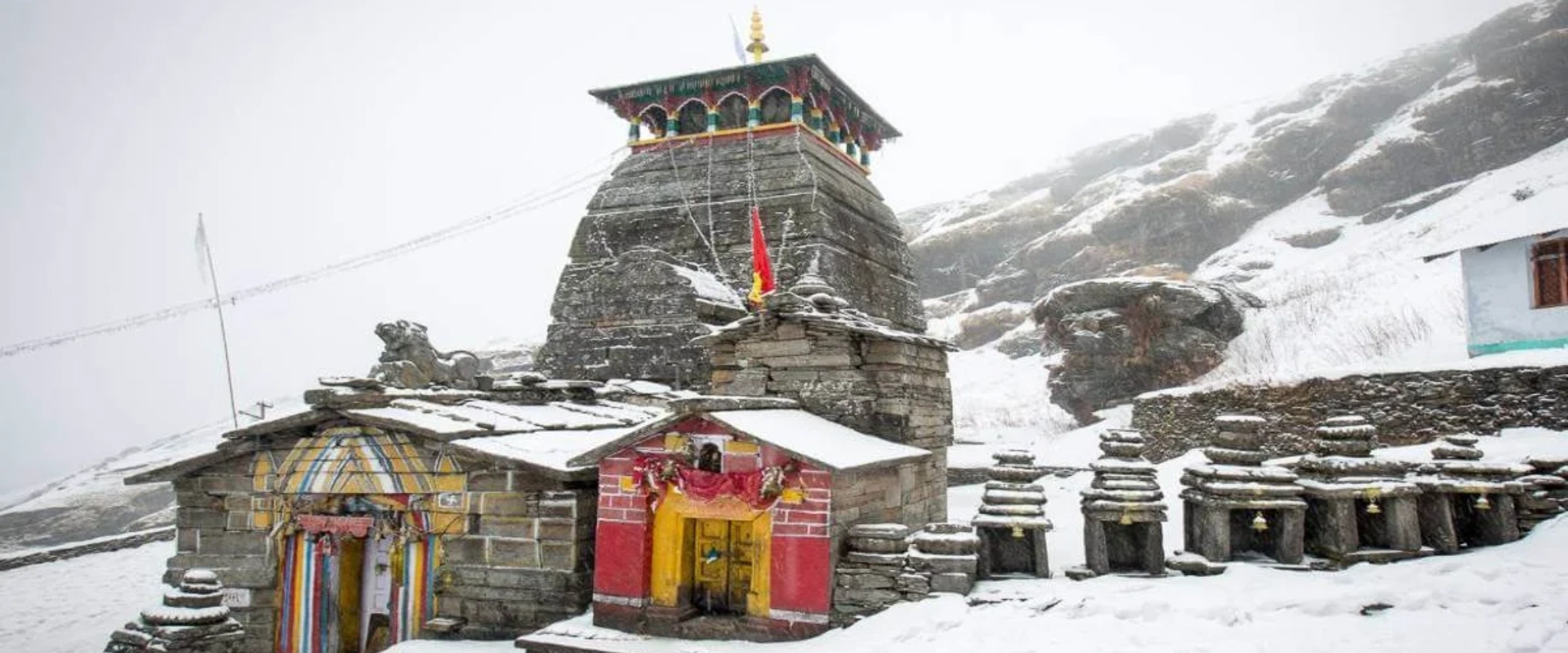
From open alpine meadows to the ancient stone temple at Tungnath, here's what the Chopta trip looks like.
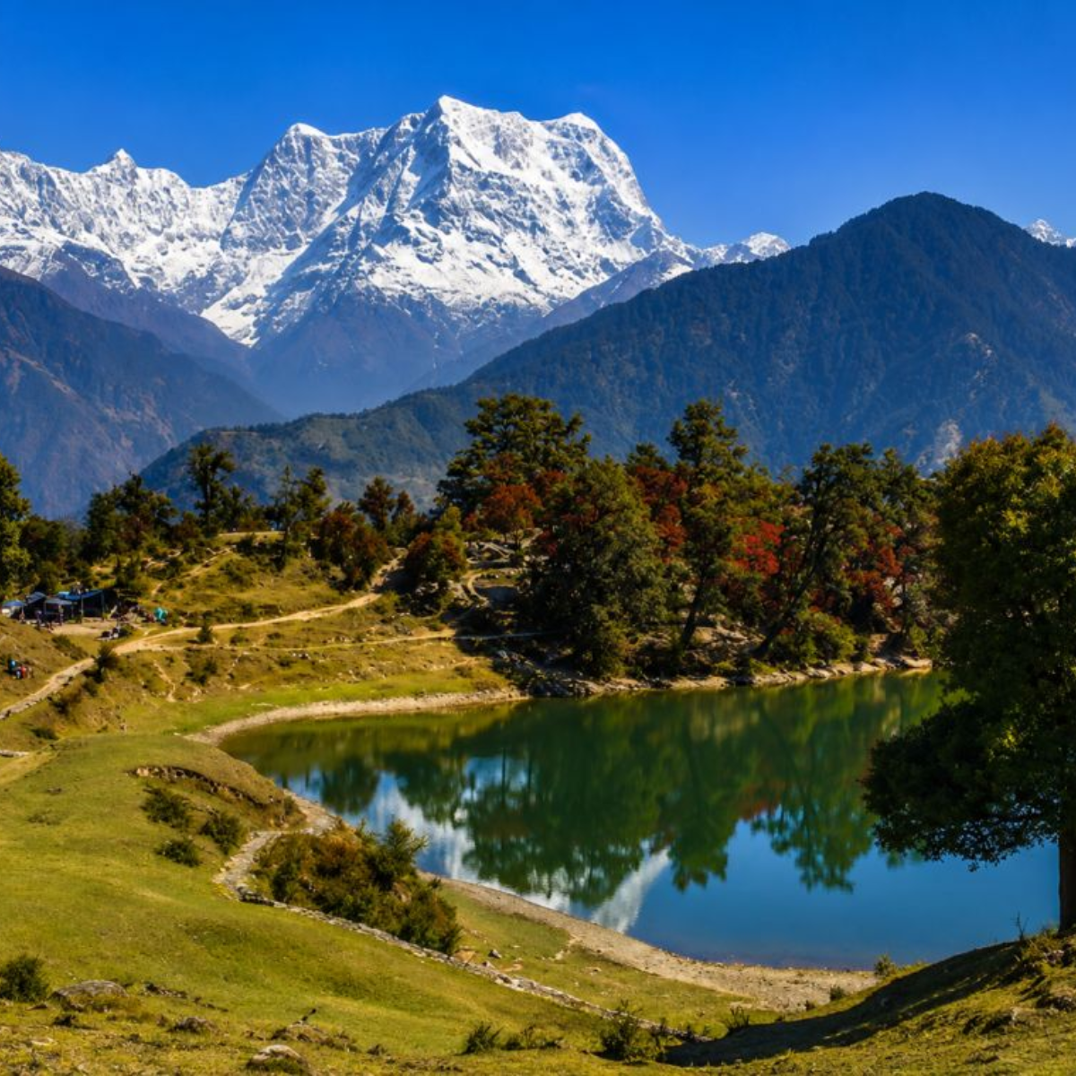 Chopta Meadows
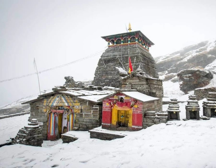 Tungnath Temple
 Chandrashila Peak
 The Trek Trail
Dehradun to Chopta Distance by Road
The distance between Dehradun to Chopta at a glance, plus a full breakdown of related routes below.
| Route | Approx. Distance | Approx. Time |
|---|---|---|
| Dehradun to Chopta (by road) | ~180–200 km | 7–8 hrs |
| Chopta to Dehradun (return) | ~180–200 km | 7–8 hrs |
| Dehradun Airport to Chopta | ~190–210 km | 7.5–8.5 hrs |
| Rishikesh to Chopta | ~165–180 km | 6–7 hrs |
| Haridwar to Chopta | ~185–200 km | 7–8 hrs |
| Chopta to Tungnath (trek) | ~3.5–5 km | 2.5–3.5 hrs on foot |
| Tungnath to Chandrashila (trek) | ~1.5 km | 1–1.5 hrs on foot |
Distances and travel times are approximate and vary with traffic, weather, road works, and the exact pickup point used. Hill sections past Ukhimath can add extra time in poor weather. See our Dehradun to Char Dham taxi guide for the wider circuit this route connects to.
Dehradun to Chopta Route Breakdown
The Dehradun to Chopta route follows the same broad corridor used for the Kedarnath Yatra for most of its length, before branching off near Ukhimath.
A short, flat stretch out of Dehradun to Rishikesh, the last major town before the hill roads begin.
The road follows the Ganga upstream to Devprayag, the sacred confluence of the Alaknanda and Bhagirathi rivers.
A winding hill stretch along the Alaknanda, ending at Rudraprayag, another major river confluence.
The route branches off toward the Mandakini valley, reaching Ukhimath — the winter home of the Kedarnath deity and a common overnight halt.
The final climb through dense forest, opening out into the alpine meadows of Chopta.
A moderate uphill trek to the Tungnath temple, with the option to continue further to Chandrashila peak.
Why Is Chopta So Famous?
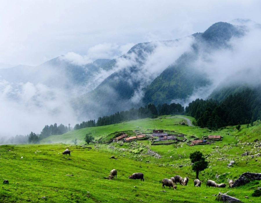
Chopta is famous for its open alpine meadows, uncrowded Himalayan views, and its role as the base camp for two of Uttarakhand's most rewarding short treks: Tungnath and Chandrashila. Rolling green pastures framed by rhododendron and oak forest have earned it the nickname "Chopta mini Switzerland" among Indian travellers, since the open, grassy landscape looks strikingly different from the steep, forested hills found elsewhere in Garhwal.
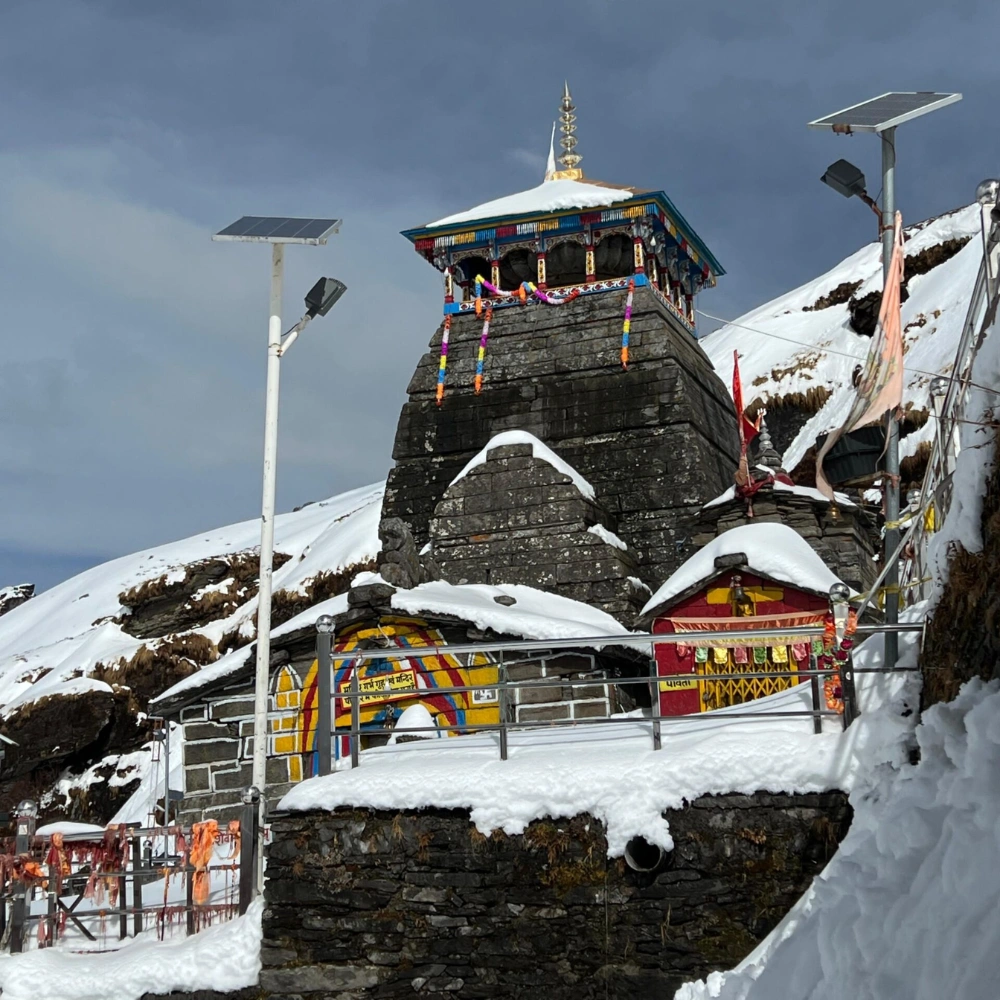
The Tungnath temple, part of the Panch Kedar group and widely regarded as the highest Shiva temple in the world, sits roughly 3.5–5 km above Chopta on a well-marked trail. From there, a further 1.5 km climb leads to Chandrashila peak, which opens up into a genuine 360-degree Himalayan panorama — including views toward Nanda Devi, Chaukhamba, and Kedarnath on clear days.
The surrounding forest is also part of the draw — Chopta sits within the Kedarnath Wildlife Sanctuary buffer zone, home to Himalayan monal (Uttarakhand's state bird), musk deer, and dense rhododendron cover that turns bright red and pink through April and May. Birdwatchers and casual nature photographers often find the walk up to Tungnath just as rewarding for wildlife sightings as it is for the temple and summit views themselves.
Can We Go to Chopta by Car?
Yes — the entire route from Dehradun to Chopta is motorable, and a private car or taxi is by far the most common way to make this trip. Here's how the main options compare, and what each one means in practice once you're actually on the road.
Door-to-door from your Dehradun hotel or the airport straight to Chopta, with flexible stops at Rudraprayag or Ukhimath along the way. This is the option most families, trekking groups, and Char Dham travellers choose, since it removes the need to change vehicles or navigate unfamiliar hill roads yourself.
A fully motorable route, but the winding hill sections past Rudraprayag call for a driver familiar with mountain roads, especially after dark. If you're self-driving, plan to reach Chopta well before sunset, since the final stretch has limited street lighting.
Buses run as far as Rudraprayag or Ukhimath, with shared taxis covering the final stretch to Chopta — budget-friendly but with fixed timings and less flexibility for stops or an early start.
Best Taxi Service for Char Dham & Uttarakhand Tours
Chardham Taxi Services is the dedicated Char Dham and pilgrimage-travel arm of DivyaShree Cabs, focused on temple and Yatra routes across Uttarakhand. Backed by DivyaShree Cabs' wider fleet and driver network, we're built to be the best taxi service for Char Dham Yatra, Uttarakhand tours, and general sightseeing visits across the Garhwal region — including scenic detours like Dehradun to Chopta. Our drivers know this corridor well, from the flat opening stretch out of Dehradun to the narrower, forested final approach into the meadow.
Garhwal Route Expertise
Drivers experienced on the Dehradun–Rishikesh–Rudraprayag–Chopta corridor and the wider Char Dham circuit.
Backed by DivyaShree Cabs
Part of the wider DivyaShree Cabs fleet, giving reliable vehicle availability even in peak season.
Well-Maintained Fleet
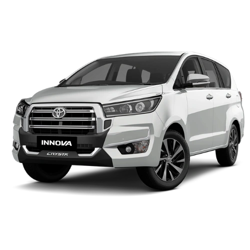
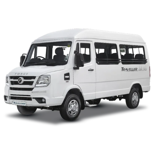
Sedans, Ertiga, Innova/Crysta, and Tempo Travellers, serviced and ready for hill driving.
Transparent Fares
Clear, confirmed pricing on call — no last-minute surprises on your route or vehicle.
Call or WhatsApp Support
Easy booking and trip support by phone or WhatsApp at 9368028472, before and during your trip.
Built for Trekkers & Pilgrims Alike
Whether it's a Chopta–Tungnath trip or a full Char Dham Yatra, our vehicles suit both.
Hire a Dehradun to Chopta Cab
We run sedans, MUVs, SUVs, and tempo travellers for the Dehradun to Chopta taxi route, with pickup available from your hotel or Dehradun airport. All vehicles come with an experienced hill-route driver. Fares vary by season, vehicle, and pickup point — call for a confirmed quote before booking.

Dehradun to Chopta Taxi Fare Guidance
The Dehradun to Chopta taxi fare depends on the vehicle type, whether it's a one-way drop or round trip, and the season. The figures below are a planning guide only — always confirm the exact fare on call before booking.
| Vehicle Type | Typical Use Case | What Affects the Fare |
|---|---|---|
| Sedan | 1–4 travellers, budget trip | Season, one-way vs. round trip, waiting days |
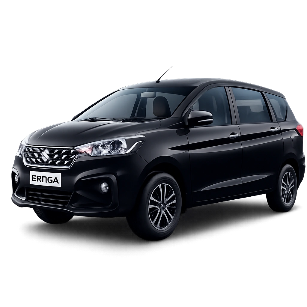
| Ertiga | Small family or trek group, 4–6 | Same as above, plus luggage/gear load |
| Innova / Crysta | Family or elderly-friendly group, up to 7 | Peak-season demand, overnight halts |
| Tempo Traveller | Group bookings, 9–17 | Group size, itinerary length, toll charges |
Prices may vary by season, vehicle condition, fuel rates, and availability, and typically run higher during peak trekking season (April–June, September–November). See also our Haridwar to Sonprayag taxi fare guide for how our regional fares are structured.
Get an Exact Quote
Fares change with season, vehicle, and route — call now for a confirmed, no-surprise price for your dates.
Call Now: 9368028472 Get a Custom QuoteBest Time to Visit Chopta
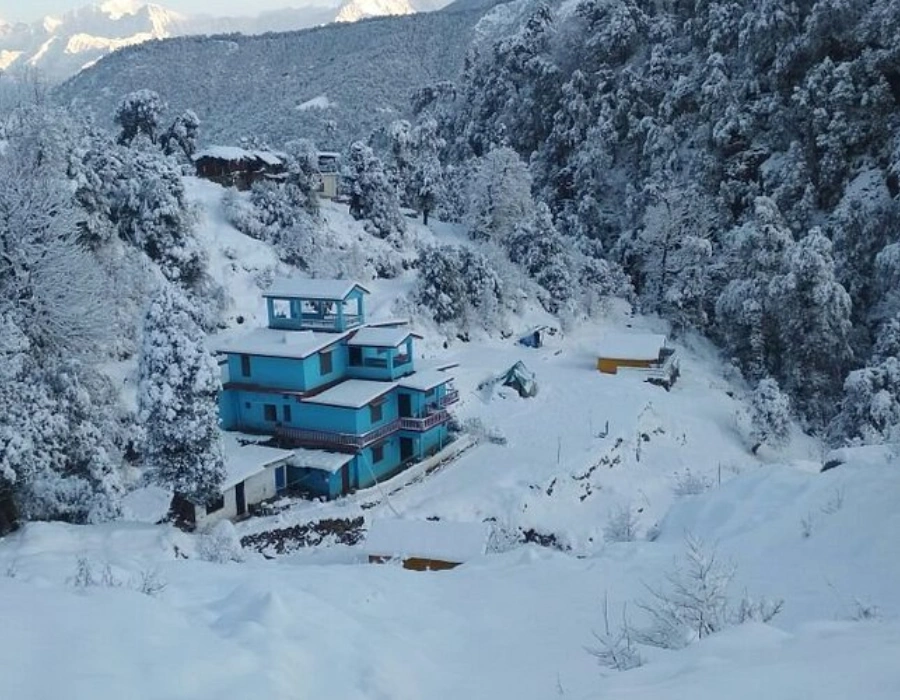
Chopta can be visited across most of the year, and yes — it does snowfall in Chopta, typically between December and February, which is precisely when many travellers head up for snow views and a genuinely alpine winter landscape.
April – June
Clear skies, blooming rhododendrons, and comfortable daytime temperatures — the most popular trekking window.
Sept – Nov
Post-monsoon skies are usually at their sharpest, giving the best long-range Himalayan visibility from Chandrashila.
Dec – Feb
Regular snowfall in Chopta turns the meadow white — beautiful, but roads can be slippery and warm gear is essential.
July – August
Monsoon rain raises landslide risk on the hill sections and often hides the Chandrashila summit view in cloud.
Whichever season you choose, it's worth remembering that Chopta's weather can shift quickly given its altitude — a clear morning can turn cloudy by afternoon even outside monsoon, so most experienced trekkers aim to complete the Tungnath–Chandrashila climb and be back down by early afternoon.
Is the Chopta Trek Difficult? How to Plan Your Trip
The Chopta to Tungnath trek is generally considered moderate rather than difficult — a well-defined, 3.5–5 km paved and stone-laid trail with a steady but manageable incline, making it approachable for reasonably fit beginners, families with older children, and first-time trekkers. It typically takes 2.5–3.5 hours to reach the temple at a comfortable pace, with tea stalls and rest points along the way.
Beginner-friendly, well-graded trail — the most accessible high-altitude temple trek in the region.
Steeper, rockier, and more exposed to wind — best attempted only in good weather with proper footwear.
Continuing beyond Tungnath to Chandrashila peak is a different story — this final 1.5 km stretch is steeper, rockier, and more exposed to wind, and is best attempted only if you're already managing the first stage comfortably and have appropriate footwear. It isn't technically risky for a careful, fit trekker in good weather, but poor visibility, rain, or snow can make the summit push considerably harder and is worth turning back from if conditions deteriorate.
To plan a Chopta trip well: base yourself in Chopta or nearby Duggalbitta for at least one night, start the Tungnath–Chandrashila trek early in the morning for the clearest skies and cooler temperatures, and build in a buffer day if you're combining this with a longer Char Dham itinerary. Carrying layered clothing, a reasonable water supply, and comfortable trekking shoes covers most of what you'll need for a day trek at this altitude.
A short packing list goes a long way here: a windproof outer layer even in summer, since temperatures at Tungnath and Chandrashila drop noticeably compared to Chopta itself; sturdy, broken-in walking shoes rather than new ones; a refillable water bottle, since there are limited shops past the first tea stalls; sunscreen and sunglasses for the exposed upper stretch; and a basic first-aid kit or any personal medication, since the nearest proper medical facility is back down in Ukhimath or Rudraprayag.
Road Condition, Rishikesh to Chopta
The route via Rudraprayag and Ukhimath is a well-used hill road, generally in good condition, with some narrow and winding sections in the final stretch approaching Chopta — manageable in a private taxi with an experienced driver.
Closest City to Chopta
Rudraprayag is the nearest town with meaningful amenities, roughly 65–70 km away, while Rishikesh is the closest major city most travellers use as a base or stopover.
Places to Combine with Your Chopta Trip
If you've already made the long drive up from Dehradun, a few nearby spots are worth adding to your itinerary rather than heading straight back — most add only a small detour to the route you're already on.
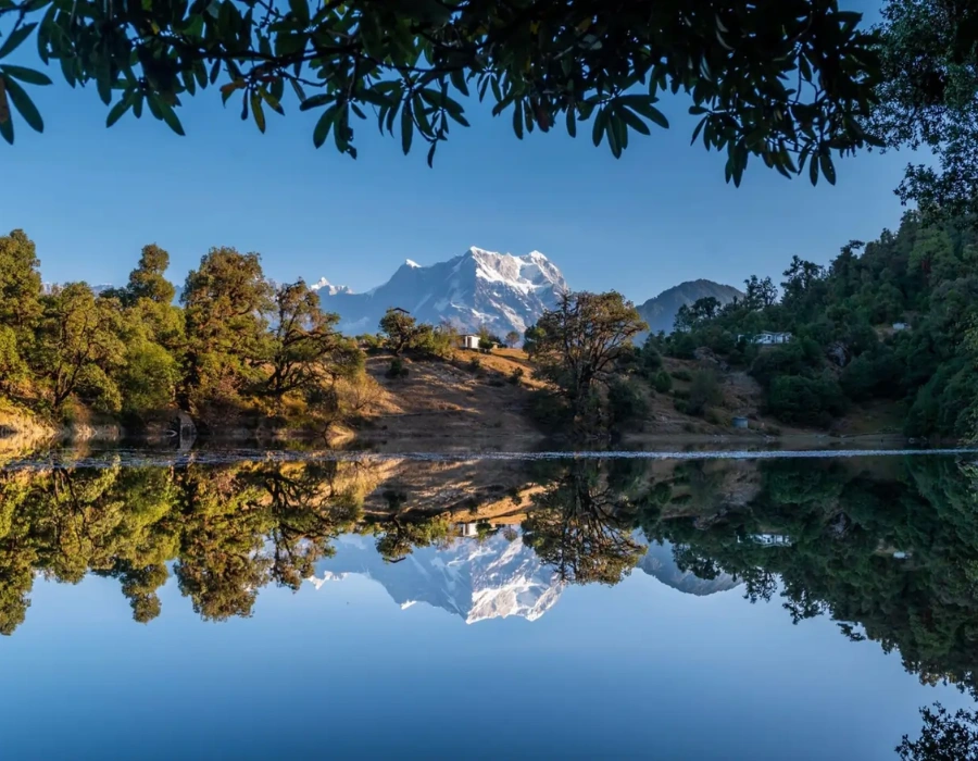
Deoriatal Lake
A high-altitude lake reached via a short trek from Sari village, known for reflecting the Chaukhamba peaks on a still morning. A popular add-on for travellers with an extra day to spare.
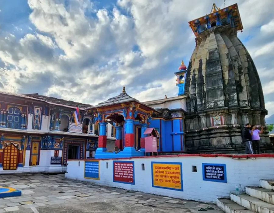
Ukhimath
The winter seat of the Kedarnath deity and a common overnight halt on the way up to Chopta, with a handful of good stay options and a quieter, more local feel than Chopta itself.
Duggalbitta
A small settlement just before Chopta, often used as an alternative base with slightly more stay options, and an easy walk from the main Tungnath trailhead.
Chopta & Dehradun to Chopta FAQs
Everything travellers commonly ask before booking a Dehradun to Chopta cab.
Yes, Chopta receives snowfall most winters, typically between December and February, turning the meadows and surrounding forest white — a popular window for travellers specifically chasing snow views.
Chopta is famous for its open alpine meadows, its nickname as the "Mini Switzerland" of Uttarakhand, and for being the base for the Tungnath and Chandrashila treks, one of the region's most rewarding short hikes.
Rudraprayag is the nearest town with meaningful amenities, roughly 65–70 km away, while Rishikesh is the closest major city most travellers use as a base.
May and October are generally considered the best months — May for clear pre-monsoon skies and blooming rhododendrons, and October for the sharpest post-monsoon Himalayan visibility.
Rishikesh to Chopta is approximately 165–180 km by road, taking roughly 6–7 hours; Tungnath itself is a further 3.5–5 km trek beyond Chopta.
The Chopta to Tungnath trek is moderate rather than difficult — a well-marked 3.5–5 km trail manageable for reasonably fit beginners in around 2.5–3.5 hours.
Base yourself in Chopta or nearby Duggalbitta for at least one night, start the Tungnath–Chandrashila trek early morning, and build in a buffer day if combining this with a longer Char Dham itinerary.
The main Tungnath stretch isn't especially risky for a careful trekker in good weather, though the further push to Chandrashila is steeper and more exposed, and best avoided in poor visibility, rain, or snow.
Haridwar to Chopta is approximately 185–200 km by road, taking roughly 7–8 hours depending on traffic and road conditions.
The most practical way is a private taxi from Dehradun via Rishikesh, Rudraprayag, and Ukhimath, covering roughly 180–200 km in about 7–8 hours, followed by the short trek up to Tungnath if you're continuing on.
Chopta, often called the "Mini Switzerland of India," is located in Rudraprayag district, Uttarakhand, at an elevation of roughly 2,680–3,000 metres in the Garhwal Himalayas.
Yes, the entire route from Dehradun (or Rishikesh/Haridwar) to Chopta is motorable by car, though the winding hill sections call for a driver experienced with mountain roads.
Yes, the Tungnath trek is considered beginner-friendly given its well-defined, moderately graded trail, though the optional extension to Chandrashila is more demanding and better suited to those already managing the first stretch comfortably.
The road via Rudraprayag and Ukhimath is generally in good condition and regularly used, with some narrow, winding stretches in the final approach to Chopta — manageable in a private taxi with an experienced hill driver.
Explore More Uttarakhand Travel Guides
Handy reads for planning the rest of your Char Dham Yatra.