
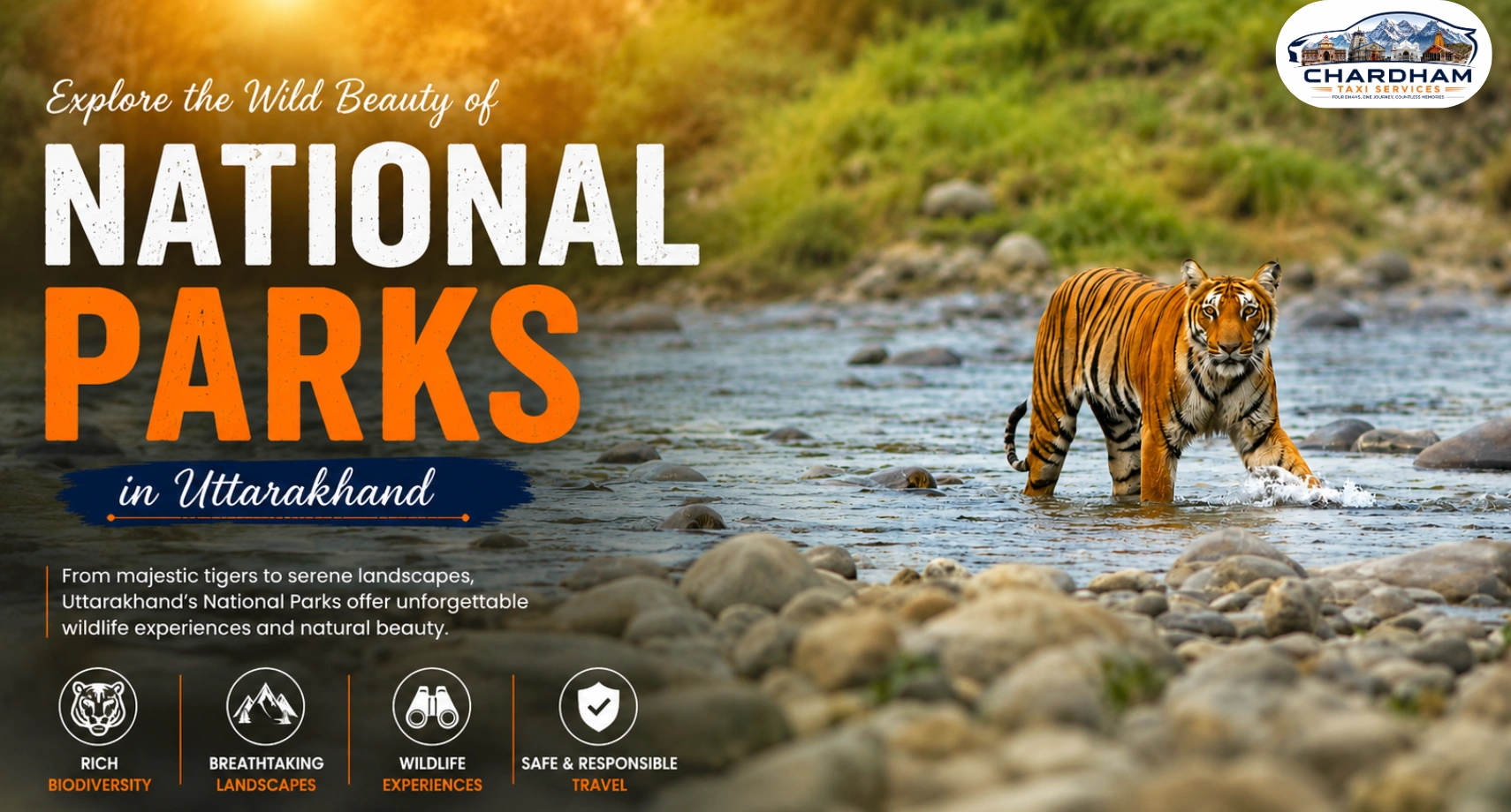
There are 6 national parks in Uttarakhand: Jim Corbett, Rajaji, Nanda Devi, Valley of Flowers, Gangotri, and Govind National Park. The largest national park in Uttarakhand is Gangotri National Park, covering roughly 2,390 sq km in Uttarkashi district, while Jim Corbett — India's oldest national park, established in 1936 — remains the most visited, famous for its Bengal tiger population. Alongside these 6 national parks, the state also has 7 wildlife sanctuaries and 4 conservation reserves, together protecting close to 12% of Uttarakhand's total geographical area. If you're planning a wildlife trip, a private taxi is the easiest way to reach these parks comfortably from Haridwar, Dehradun, or Rishikesh.
National Parks in Uttarakhand: An Overview
Uttarakhand, often called "Devbhoomi" or the Land of the Gods, is as well known for its wildlife as it is for its temples and hill stations. Spanning both the Shivalik foothills and the high Himalayas, the state holds an unusually wide range of habitats within a fairly compact area — river valleys, grasslands, subtropical forest, and alpine meadows above the tree line. That range is exactly why Uttarakhand supports 6 national parks, 7 wildlife sanctuaries, and 4 conservation reserves, together covering close to 12% of its total land area.
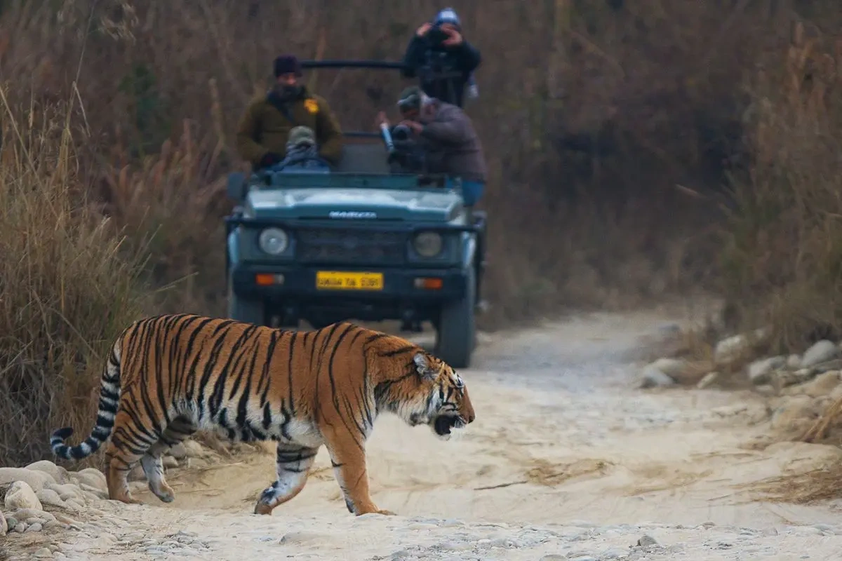
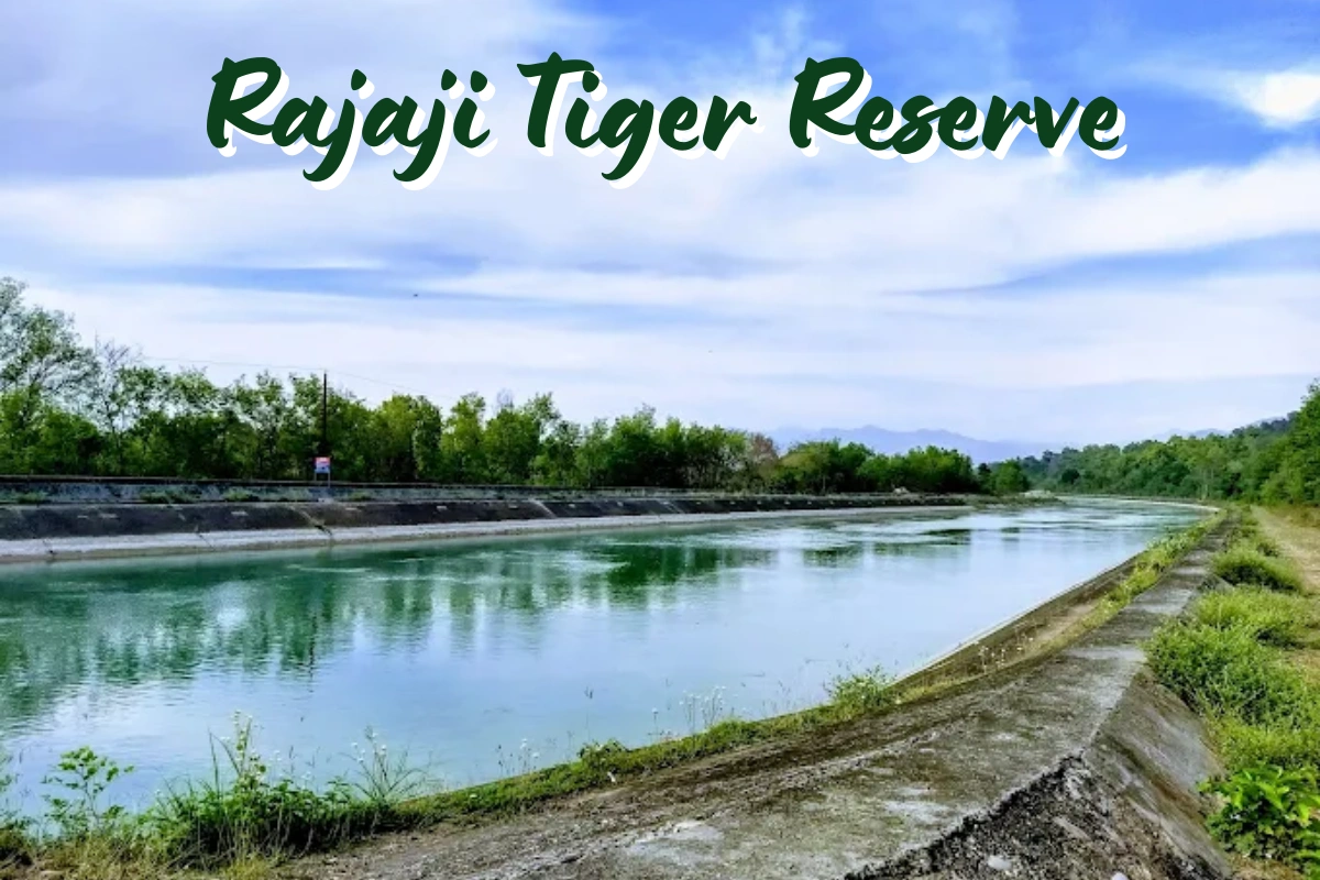
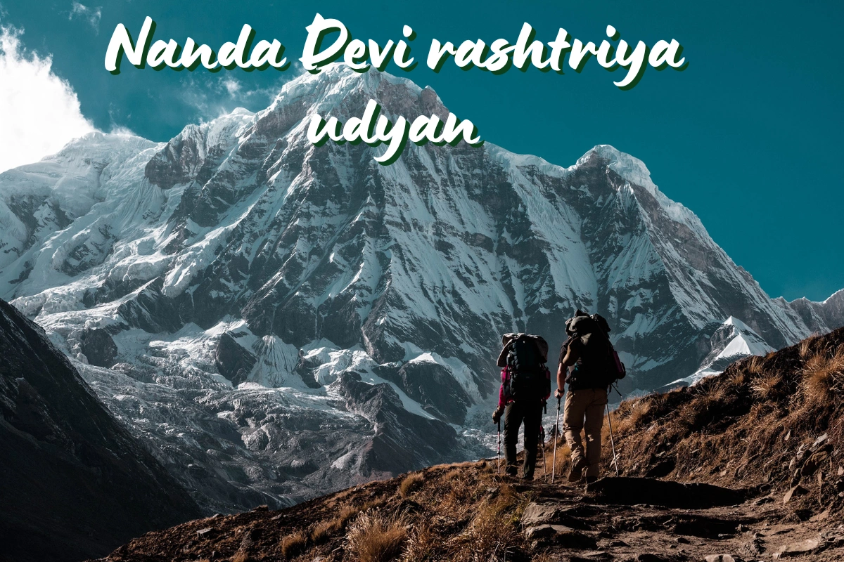
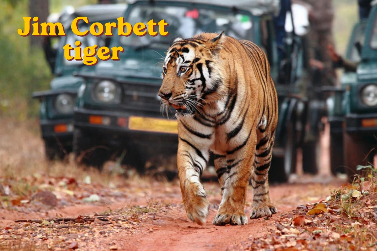
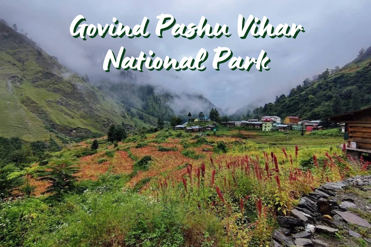
Each national park in Uttarakhand plays a distinct role. Jim Corbett, in the Terai lowlands near Ramnagar, is built around tiger conservation and dense sal forest. Rajaji, spanning Haridwar, Dehradun, and Pauri Garhwal, protects elephant corridors along the Shivalik range. Further into the mountains, Nanda Devi and Valley of Flowers National Parks — together a UNESCO World Heritage Site — preserve high-altitude meadows and rare Himalayan flora, while Gangotri and Govind National Parks safeguard the glacial source regions of the Ganga and its tributaries.
Many travellers combine a wildlife park with their broader Uttarakhand itinerary — a Jim Corbett safari en route between Delhi and the hills, or a Valley of Flowers trek alongside a Char Dham Yatra. If you're planning that kind of combined trip, our Char Dham Yatra route map and places to see during the Char Dham tour are useful companion reads.
Whichever park you're headed to, getting there usually means a private taxi from a base city like Haridwar, Dehradun, or Rishikesh, since public transport rarely runs all the way to a park gate. We'll cover exactly which parks are where, and how to plan the drive, through the rest of this guide.
List of National Parks in Uttarakhand
Here's the complete list of national parks in Uttarakhand, with their district, approximate area, and what each one is best known for.
| National Park | District | Approx. Area | Established | Known For |
|---|---|---|---|---|
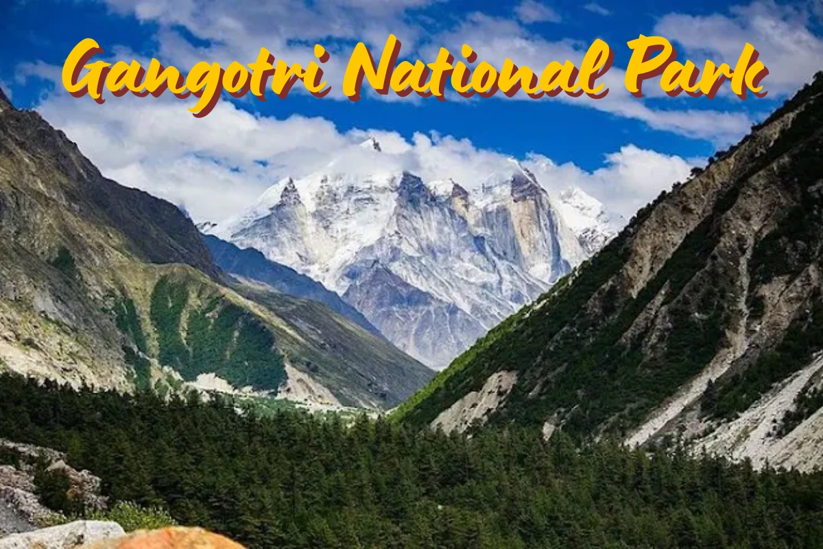
| Gangotri National Park | Uttarkashi | ~2,390 sq km | 1989 | Largest park in Uttarakhand; glaciers, snow leopard habitat |
| Rajaji National Park | Haridwar, Dehradun, Pauri Garhwal | ~820–1,075 sq km | 1983 | Asian elephants, tigers, Shivalik forest |
| Jim Corbett National Park | Nainital (Ramnagar) | ~520.8 sq km (core) | 1936 | India's oldest national park; Bengal tigers |
| Nanda Devi National Park | Chamoli | ~630 sq km | 1982 | UNESCO site; Nanda Devi peak, snow leopard |
| Govind National Park | Uttarkashi | ~472 sq km | 1990 | Govind Pashu Vihar; alpine and subalpine forest |
| Valley of Flowers National Park | Chamoli | ~87 sq km | 1982 | UNESCO site; smallest park, alpine flower meadows |
Area figures vary slightly across sources depending on core vs. buffer zone definitions and post-2015 boundary revisions (particularly for Rajaji, following its merger with adjoining sanctuaries). Always check current entry rules and safari timings with the forest department before visiting.
A Closer Look at Each National Park in Uttarakhand
Beyond the summary table, here's a deeper look at what makes each of Uttarakhand's six national parks distinct — location, wildlife, how to get there, and what you can actually do once you arrive.
National Park in Uttarakhand Map & Locations
Looking at a national park in Uttarakhand map, the six parks fall into two broad clusters. In the south, Jim Corbett (Nainital district) and Rajaji (Haridwar–Dehradun–Pauri Garhwal) sit in the lower Shivalik and Terai belt, both reachable within a few hours' drive from Delhi, Haridwar, or Dehradun. Deeper into the Garhwal Himalayas, Gangotri and Govind National Parks (both Uttarkashi district) protect the glacial headwaters of the Bhagirathi and Tons rivers, while Nanda Devi and Valley of Flowers National Parks (Chamoli district) sit close together near Joshimath and Govindghat, forming a single UNESCO World Heritage property.
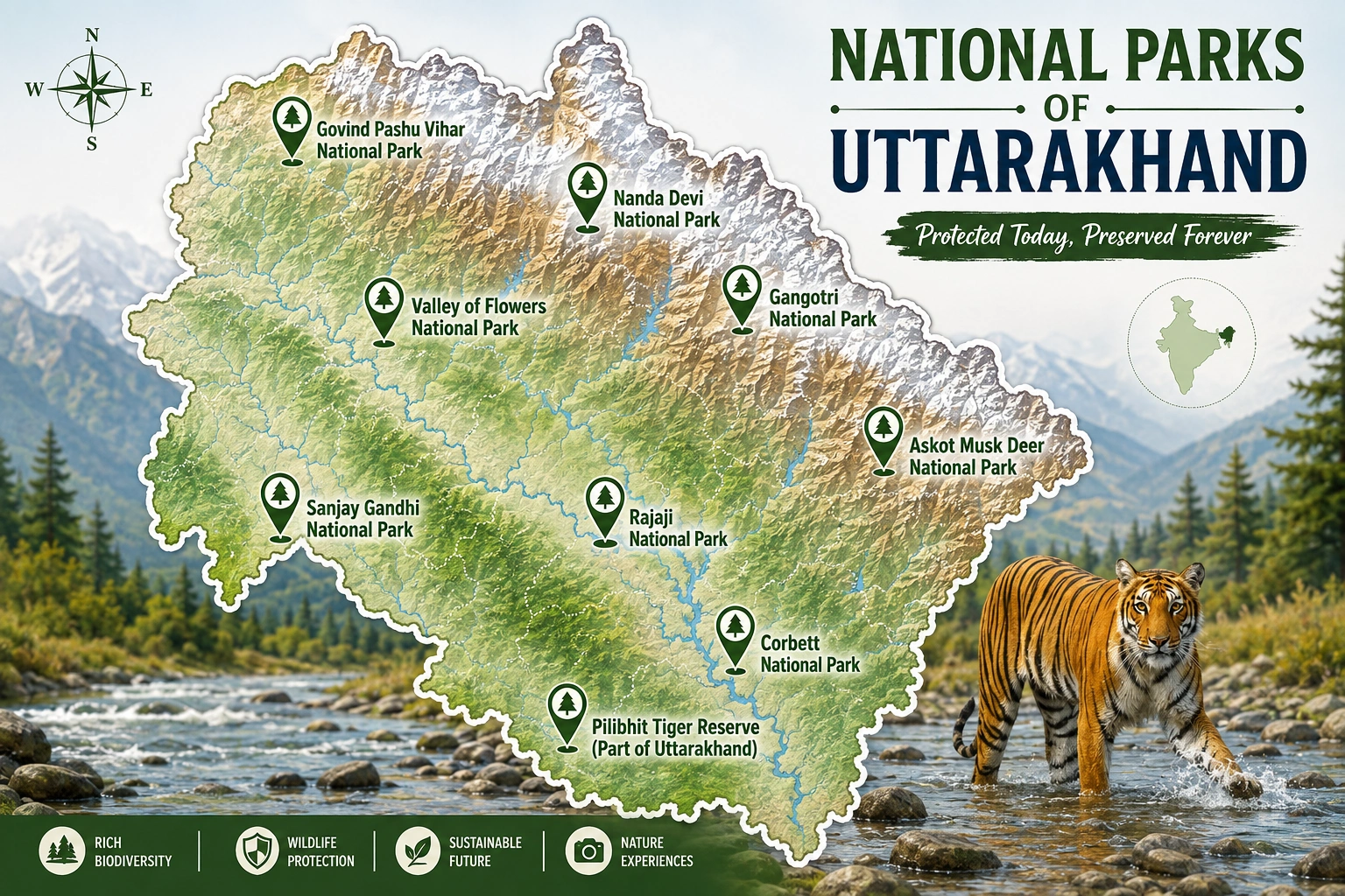
In practical terms, that means Jim Corbett and Rajaji suit a shorter trip from the plains, while Gangotri, Govind, Nanda Devi, and Valley of Flowers are better paired with a longer Garhwal or Char Dham circuit, since they sit much further into the mountains.
Valley of Flowers National Park in Uttarakhand
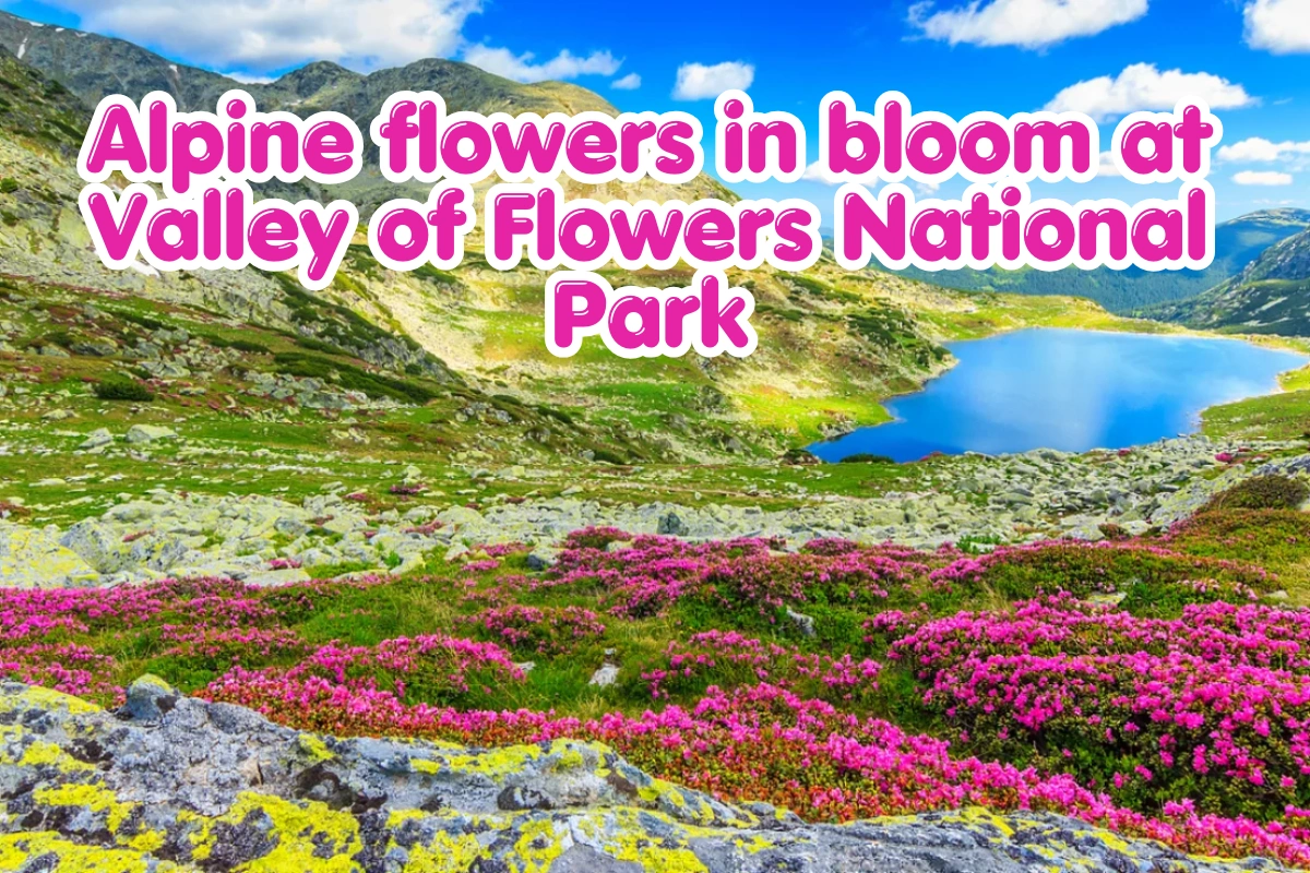
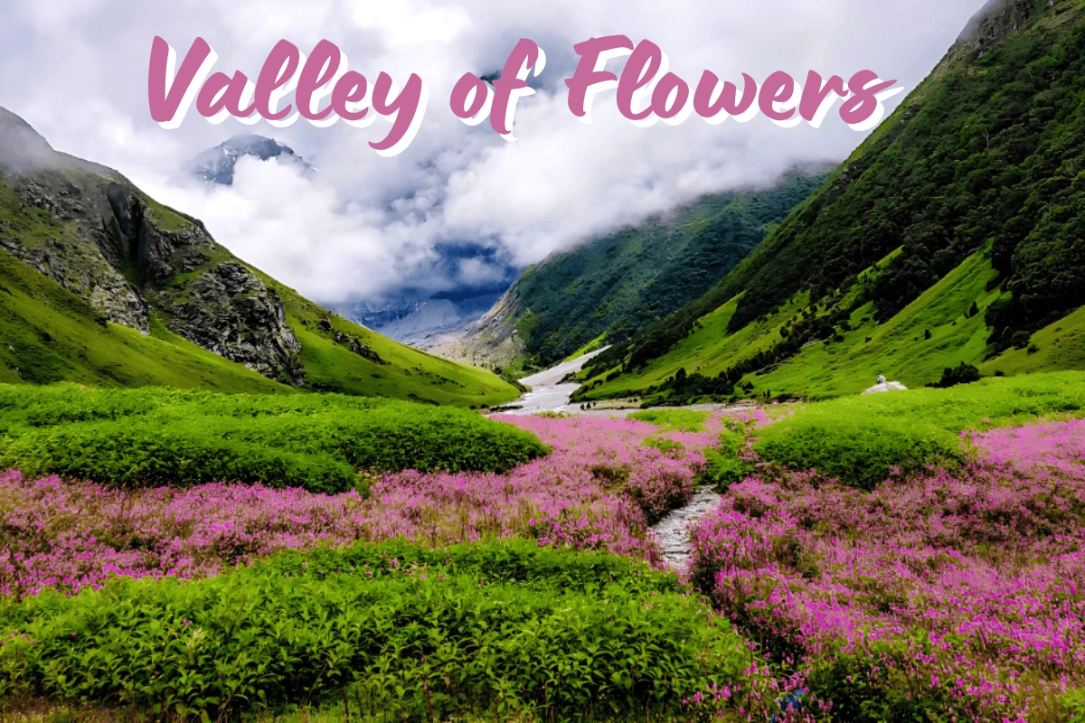
The Valley of Flowers National Park in Uttarakhand is the smallest of the state's six national parks, covering roughly 87 sq km in Chamoli district, yet it's one of the most photographed. The valley bursts into a carpet of alpine flowers each monsoon, typically from July through September, with hundreds of flowering species — many found nowhere else in the region — spread across a high-altitude glacial basin flanked by snow peaks.
Access is by trek only: the trailhead starts at Govindghat, reached by road via Joshimath, with the trek itself running through Ghangaria before splitting toward the Valley of Flowers on one side and the Hemkund Sahib gurdwara on the other. Along with neighbouring Nanda Devi National Park, it forms a single UNESCO World Heritage Site, recognised for its exceptional natural beauty and largely undisturbed alpine ecosystem.
Because Govindghat lies on the same general route used for the Badrinath leg of the Char Dham Yatra, many travellers combine the two. See our Haridwar to Badrinath distance guide for the road journey up to that stretch.
Largest, Smallest, and Oldest National Parks in Uttarakhand
A few quick comparisons that come up often when researching Uttarakhand's national parks.
The largest national park in Uttarakhand, at roughly 2,390 sq km — also one of the largest in India by area. Rajaji National Park is the state's second-largest.
At around 87 sq km, Valley of Flowers is generally considered the smallest of the six — though what it lacks in size, it makes up for in botanical density.
Established in 1936, Jim Corbett is not just Uttarakhand's oldest park — it's India's oldest national park, and the country's first Project Tiger reserve.
Total National Parks in Uttarakhand
To directly answer one of the most common searches: the total national parks in Uttarakhand stands at 6. That figure has held steady for some time — the most recent addition was Govind National Park in 1990 — and it's unlikely to change unless a new sanctuary is formally upgraded to national park status. Beyond the 6 national parks, the state's forest department also manages 7 wildlife sanctuaries, 4 conservation reserves, and 1 biosphere reserve (the Nanda Devi Biosphere Reserve, which encompasses both Nanda Devi and Valley of Flowers National Parks).
So when people ask how many national parks in Uttarakhand exist today, the short, confident answer is six — Jim Corbett, Rajaji, Nanda Devi, Valley of Flowers, Gangotri, and Govind.
Wildlife Sanctuaries & Ramsar Sites in Uttarakhand
Uttarakhand's 7 wildlife sanctuaries are most commonly listed as Askot Wildlife Sanctuary (Pithoragarh, protecting the musk deer), Binsar Wildlife Sanctuary (Almora), Kedarnath Wildlife Sanctuary (Rudraprayag and Chamoli, the largest protected area in the Western Himalaya), Sonanadi Wildlife Sanctuary (adjoining Jim Corbett), Nandhaur Wildlife Sanctuary (Haldwani), Govind Wildlife Sanctuary (Uttarkashi), and Benog Wildlife Sanctuary near Mussoorie. Of these, Kedarnath Wildlife Sanctuary is the largest, spanning roughly 975 sq km of alpine and subalpine terrain.
On the wetlands side, Uttarakhand currently has one internationally recognised wetland: the Asan Conservation Reserve near Dehradun, designated a Ramsar site in 2020. It's a human-made wetland formed by the Asan Barrage, and remains an important wintering ground for migratory birds including the ruddy shelduck and red-crested pochard.
How to Reach Uttarakhand's National Parks
None of these parks are served by rail directly to the gate, so a private taxi from your nearest base city is the most practical way to get there.
Door-to-door from Haridwar, Dehradun, or Rishikesh to the park gate, with your own timings for early-morning safari entry.
State buses reach nearby towns like Ramnagar or Joshimath, with shared taxis covering the final stretch to the park.
Pantnagar for Jim Corbett; Jolly Grant, Dehradun for Rajaji and the Garhwal parks — both need onward road travel.
Best Taxi Service for Char Dham & Uttarakhand Tours
Chardham Taxi Services is the dedicated Char Dham and pilgrimage-travel arm of DivyaShree Cabs, focused on temple and Yatra routes across Uttarakhand. Backed by DivyaShree Cabs' wider fleet and driver network, we're built to be the best taxi service for Char Dham Yatra, Uttarakhand tours, and wildlife visits alike — from a Jim Corbett safari to a Valley of Flowers trek.
Drivers experienced across both the Terai park circuit and the deeper Garhwal Himalaya routes.
Part of the wider DivyaShree Cabs fleet, giving reliable vehicle availability even in peak season.
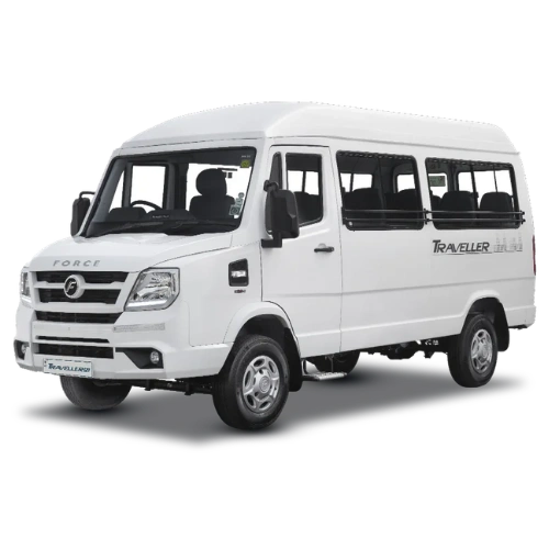
Sedans, Ertiga, Innova/Crysta, and Tempo Travellers, serviced and ready for both plains and hill driving.
Clear, confirmed pricing on call — no last-minute surprises on your route or vehicle.
Easy booking and trip support by phone or WhatsApp at 9368028472, before and during your trip.
Whether it's a national park safari or a Char Dham Yatra, our vehicles suit both.
Hire a Taxi for Your Uttarakhand National Park Visit
We run sedans, MUVs, SUVs, and tempo travellers to Jim Corbett, Rajaji, Valley of Flowers, and every other national park in Uttarakhand, with pickup from Haridwar, Dehradun, or Rishikesh. Fares vary by season, vehicle, and distance — call for a confirmed quote before booking.



National Park Taxi Fare Guidance
Fares depend on the vehicle type, distance to the specific park, and season. The table below is a planning guide only — always confirm the exact fare on call before booking.
| Vehicle | Use Case | What Affects Fare |
|---|---|---|
| Sedan | 1–4 travellers | Season, distance to park, one-way vs. round trip |
| Ertiga | 4–6 travellers | Same as above, plus luggage load |
| Innova / Crysta | Up to 7 travellers | Peak-season demand, extra sightseeing stops |
| Tempo Traveller | 9–17 travellers | Group size, itinerary length, toll charges |
Prices may vary by season, vehicle condition, fuel rates, and availability, and typically run higher during winter (peak safari season) and around holiday weekends. Park entry fees, jeep safari charges, and guide fees are separate from your taxi fare and are paid directly at the park.
Best Time to Visit Uttarakhand's National Parks
Jim Corbett and Rajaji are open through this window, with winter (Nov–Feb) offering cool, comfortable safari conditions.
Peak monsoon bloom season is the only real window to see the valley's meadows in full flower.
Jim Corbett's core zone typically closes mid-June to mid-November for the monsoon — check current dates before planning.
Travel Tips for Visiting Uttarakhand's National Parks
Jim Corbett's zones fill up quickly in peak winter season — book jeep or canter safaris ahead of your travel dates.
Forest department entry permits require valid photo ID — carry originals, not just photos.
Valley of Flowers and Nanda Devi sit far higher than Corbett or Rajaji — carry warm layers and rain gear.
Monsoon closures and weather-related restrictions change yearly — check with the forest department before travelling.
National Parks in Uttarakhand: FAQs
Which national park is there in Uttarakhand?
Uttarakhand has six national parks: Jim Corbett, Rajaji, Nanda Devi, Valley of Flowers, Gangotri, and Govind National Park.
What is the biggest national park in Uttarakhand?
Gangotri National Park is the biggest, covering roughly 2,390 sq km in Uttarkashi district.
What are the 7 wildlife sanctuaries in Uttarakhand?
They're most commonly listed as Askot, Binsar, Kedarnath, Sonanadi, Nandhaur, Govind, and Benog Wildlife Sanctuaries.
How many national parks are there in Uttarakhand?
There are six: Jim Corbett, Rajaji, Nanda Devi, Valley of Flowers, Gangotri, and Govind National Park.
Which is the smallest national park in Uttarakhand?
Valley of Flowers National Park is generally considered the smallest, at around 87 sq km.
Which is the largest wildlife sanctuary in Uttarakhand?
Kedarnath Wildlife Sanctuary is the largest, spanning roughly 975 sq km across Rudraprayag and Chamoli districts — also the largest protected area in the Western Himalaya.
How many national parks and sanctuaries are there?
Uttarakhand has 6 national parks, 7 wildlife sanctuaries, 4 conservation reserves, and 1 biosphere reserve.
What are the Ramsar sites in Uttarakhand?
Uttarakhand currently has one Ramsar-recognised wetland: the Asan Conservation Reserve near Dehradun, designated in 2020.
Which national park in Uttarakhand is the oldest?
Jim Corbett National Park, established in 1936, is the oldest — and it's also India's very first national park.
What are the top 5 tourist places in Uttarakhand?
Commonly cited favourites include Kedarnath, Badrinath, Rishikesh, Nainital, and Jim Corbett National Park, though this varies with personal interest — from pilgrimage to adventure to wildlife.
Which is the 2nd largest national park in India?
Nationally, India's largest parks by area are concentrated in states like Rajasthan and Ladakh, so no Uttarakhand park ranks among the country's very largest. Within Uttarakhand specifically, Rajaji is the second-largest after Gangotri.
Which is the largest park in Uttarakhand?
Gangotri National Park, at roughly 2,390 sq km, is the largest national park in the state.
What is the famous item of Uttarakhand?
Uttarakhand is known for handicrafts like Aipan folk art and woollen Bhotia shawls, along with local food specialities such as Bal Mithai and Kafuli, reflecting its blend of hill culture and Himalayan produce.
Which national park is famous for?
Jim Corbett National Park is the most famous, best known for its Bengal tiger population and for being India's first national park and Project Tiger reserve.